Transforming land cover classification
Empowered by AI
and advanced image
processing


Increased accuracy and speed
SmartLand Dynamics’ revolution in classification
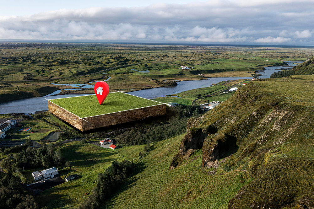
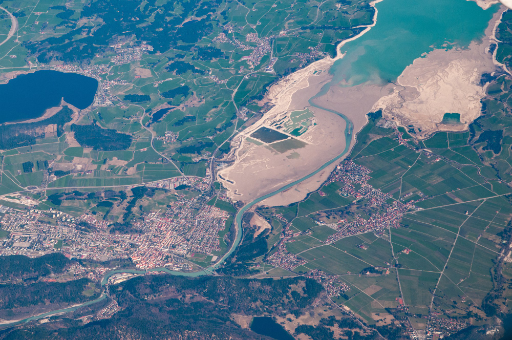
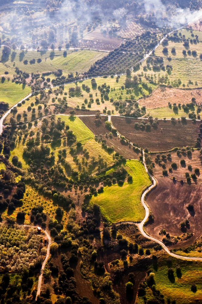
SmartLand Dynamics offers an advanced AI-driven land cover classification solution that transforms the way organizations analyze and interpret land use data. Leveraging cutting-edge deep learning models, including Convolutional Neural Networks (CNNs), our platform provides precise, high-resolution land cover classifications from satellite and remote sensing imagery. Designed to meet the needs of urban planners, environmental agencies, government bodies, and various industries, our solution enables users to monitor environmental changes, optimize urban planning, and manage natural resources with unparalleled accuracy and efficiency. SmartLand Dynamics integrates seamlessly with Geographic Information Systems (GIS) to deliver real-time insights and visualizations, empowering stakeholders to make informed, sustainable decisions.
SAVE UP TO
95%
RENEWABLE ENERGY
Diverse service offering at SmartLand Dynamics
our platform offers a diverse selection of services
Decision Support and Analytics
- High-precision land cover classification using AI and CNNs
- Real-time satellite and remote sensing imagery analysis
- Multi-source data integration, including radar and hyperspectral images
Decision Support and Analytics
- Geographic Information Systems (GIS) integration for visualization and analysis
- Customized environmental monitoring for urban planning and resource management
- Climate impact and habitat conservation assessments
Training and Support Services
- Hands-on training for clients on AI-driven land use tools
- Technical support for data processing and system implementation
- Consultation on data interpretation and application for strategic decision-making
Powerful Features for Smart Land Coverage Classification
Designed specifically for land coverage classification to enhance decisions and optimize operations.
AI-Powered Precision
Leveraging advanced Convolutional Neural Networks (CNNs), our platform delivers highly accurate land cover classifications, surpassing traditional methods in both detail and reliability. This precision allows stakeholders to make informed, data-driven decisions with confidence.
Real-Time Data Processing
With real-time satellite and multi-source imagery integration, SmartLand Dynamics provides continuous monitoring and instant updates on land use changes, enabling users to respond swiftly to evolving environmental and urban conditions.
Comprehensive GIS Integration
Our platform seamlessly integrates with Geographic Information Systems (GIS), offering intuitive data visualization and spatial analysis tools. This enables users to view land cover data in actionable formats, enhancing both decision-making and strategic planning.
Adaptable to Diverse Data Sources
Built for versatility, SmartLand Dynamics supports a wide range of remote sensing data types, including radar and hyperspectral imagery. This flexibility ensures reliable classification performance across varied landscapes and environmental conditions.

Fast and accurate
Cost-effective
Frequently Asked Questions
Frequently Asked Questions
1. What is SmartLand Dynamics, and how does it work?
jahansite2024-11-05T20:43:22+00:00SmartLand Dynamics is an AI-driven land cover classification platform designed to provide precise, real-time analysis of land use and environmental data. Utilizing advanced deep learning algorithms, particularly Convolutional Neural Networks (CNNs), our solution processes high-resolution satellite and remote sensing images to classify various land cover types such as urban areas, forests, water bodies, and agricultural land. With seamless GIS integration, SmartLand Dynamics offers users an intuitive experience for interpreting and visualizing complex spatial data.
2. Who can benefit from using SmartLand Dynamics?
jahansite2024-11-05T20:43:33+00:00Our platform is designed for a wide range of users, including urban planners, environmental agencies, government bodies, agricultural enterprises, and forestry management firms. It’s ideal for anyone who relies on accurate land cover data to make informed decisions, manage resources, or track environmental changes. Universities, research institutions, and NGOs involved in environmental conservation and land management can also benefit significantly from our solutions.
3. How accurate is the classification provided by SmartLand Dynamics?
jahansite2024-11-05T20:43:40+00:00Thanks to our state-of-the-art AI algorithms, SmartLand Dynamics achieves a high level of precision, often surpassing traditional land cover classification methods. By incorporating continuous learning and multiple data sources, the platform provides highly accurate classifications that stakeholders can trust for decision-making.
4. What data sources does SmartLand Dynamics support?
jahansite2024-11-05T20:43:51+00:00Our platform is compatible with a variety of remote sensing data sources, including satellite, radar, and hyperspectral imagery. This flexibility ensures consistent performance and adaptability across diverse environmental contexts and land cover types.
5. How does SmartLand Dynamics handle data security and privacy?
jahansite2024-11-05T20:44:03+00:00We prioritize data security and implement industry-standard practices to protect your information. All data processed through our platform is handled in compliance with relevant data privacy regulations, and we ensure that data access is secure and restricted to authorized personnel.
Request a Quote
GETTING STARTED
Please fill out the form below, and a member of our team will be in touch shortly.
Enter Details in This Form:
You Can enter your details on this form and send to us


